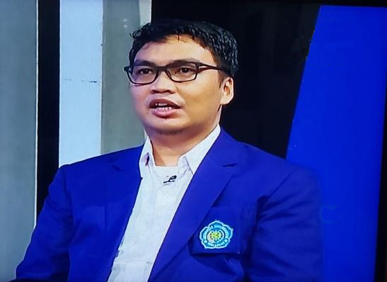
Profile:
Naufal is a Lecturer at the Department of Forestry, he is also the lead at the Geospatial and Climate Change Laboratory. His research focuses on two areas: 1) Integrating biophysical and social processes and methods in understanding land use and land cover change and 2) Transforming data into information and knowledge by using Geospatial and Remote Sensing technique.
Naufal involved in global change research, especially to comprehend the interconnection between natural and human systems. The interplay between biophysical and social processes is inherently intertwined but still holds many uncertainties. Naufal research aims to enhance understanding of the interdependent dynamics by focusing on two key aspects: 1) creating approaches to measure the connections between these processes, and 2) developing geospatial tools to analyze and quantify the intricate spatial and temporal patterns resulting from the complex interactions between human and natural systems. He has been involved in several issues and fields such as climate change, adaptation and mitigation, watersheds management, disaster, land use change, community forest and deforestation.
Responsibility:
- Chief of Geospatial and Climate Change Laboratories
- Chairman of the South Sulawesi Regional Indonesian Drone Pilots Association (APDI) 2017-2021.
- Makassar Regional Manager of the Association of Indonesian Engineers (PII)
- Board of the South Sulawesi Regional Indonesian Drone Pilots Association (APDI) 2021-2025.
Courses Name:
1. Forest Measurement and Mapping
2. Geospatial and Remote Sensing
3. Drone/UAV Application in Sustainable Forest Management
4. Community Forest Management
Hasanuddin University, Graduate Program
Thesis: Landscape Study of the Village Forest scheme in supporting the Protected function.
Hasanuddin University, Post Graduate Program
Thesis : Community Forest Plantation Scheme (HTR) Development Design in Barru District
Research Project:
1. Land use based on climate change adaptation and mitigation in the Jeneberang and Walanae watersheds. Founded by LITBANG SULSEL
2. Deep learning methods to improve monitoring and evaluation of forest rehabilitation on climate mitigation programs by using drone imagery. Founded by RISETMU
3. Adaptation From Maladaptation, Case study: Community based of Saddang Watershed. Founded by Adaptation Fund
4. Participatory Land Use Planning, in SULTENG and SULBAR. Founded by Forest Programme III & IV
5. Payment Environment Services (PES) in Papua, hydropower for regional economy VS indigenous peoples livelihood. Founded by Keerom Regency
6. Community Adaptation for Forest-Food Based Management in Saddang Watershed Ecosystem. Founded by Adaptation Fund
Fellowship: Critical Agrarian School (SAK) Program by Agrarian Research Center (ARC)-KEHATI,with the title of my research “Relation of land use and spatial awareness of palm oil with the degradation, and forest fragmentation in Eeast Sulawesi Province.”
International Competition: Finalist GIZ Innovation Challenge 2020 with title “Village Land Use System for Sustainable management of natural resources”
Link: Google Scholar, Sinta, ORCID

